OVERVIEW
| Commodity: | Rare Earth Elements |
| Location: | British Columbia, Canada |
| Size: | 2538 ha. (25 Km²) |
The Revel Project is located 20 km from the community of Seymour Arm within a highly prospective carbonatite belt north of Revelstoke, BC. The Project is 100% owned by Riverside with no underlying royalties or encumbrances. Access for mineral exploration is conducted from logging roads tied into secondary road access and generally accessible making the exploration cost effective as Riverside builds upon earlier exploration work and REE results.
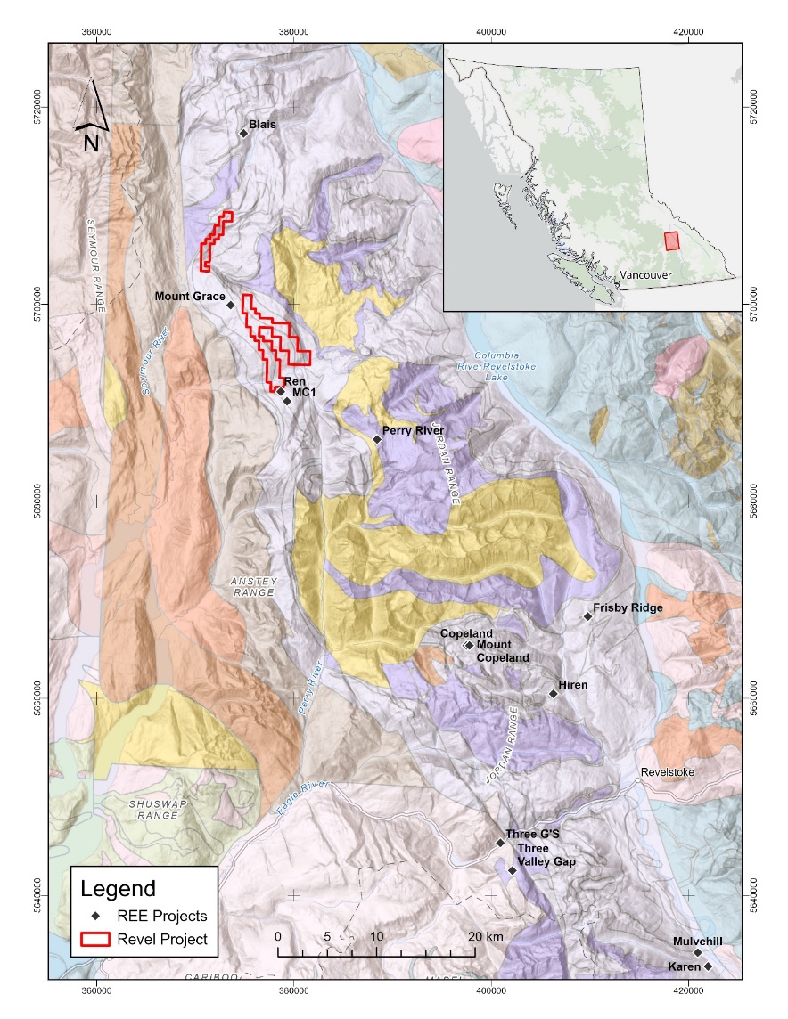
The claims are partly located on Mount Grace on the northeast margin of Frenchman Cap Gneiss Dome comprising part of the Shuswap Metamorphic Terrain. These core gneisses are overlain by allochthonous cover rocks which host both extrusive and intrusive carbonatites and are part of the Monashee cover sequence. The property is centered on the Mount Grace syncline which is a northwest trending isoclinal fold. The regional map shows the Revel claim areas in the regional context with other known REE locations as part of a north-south trending belt where the Company has been working.
Figure 1. Regional location map of the Mount Grace Carbonatite and other REE locations superimposed on geologic quadrangle map from Hoy and Kwong (1986).
Project History
Mount Grace and the surrounding area were first mapped by government geologists where two types of carbonatites were identified:
Type I intrusive carbonatites were noted to have metasomatized contacts being conformable to the bedding within their metasedimentary host rocks, and commonly contacting either a syenite or nepheline syenite gneiss.
Type II extrusive carbonatites, believed to be of volcanic origin and lacking any kind of metasomatic boundary, were linked with the occurrence of a prominent marble horizon that was stratigraphically above the carbonatite bodies and used as a regional marker (McMillan and Moore, 1974).
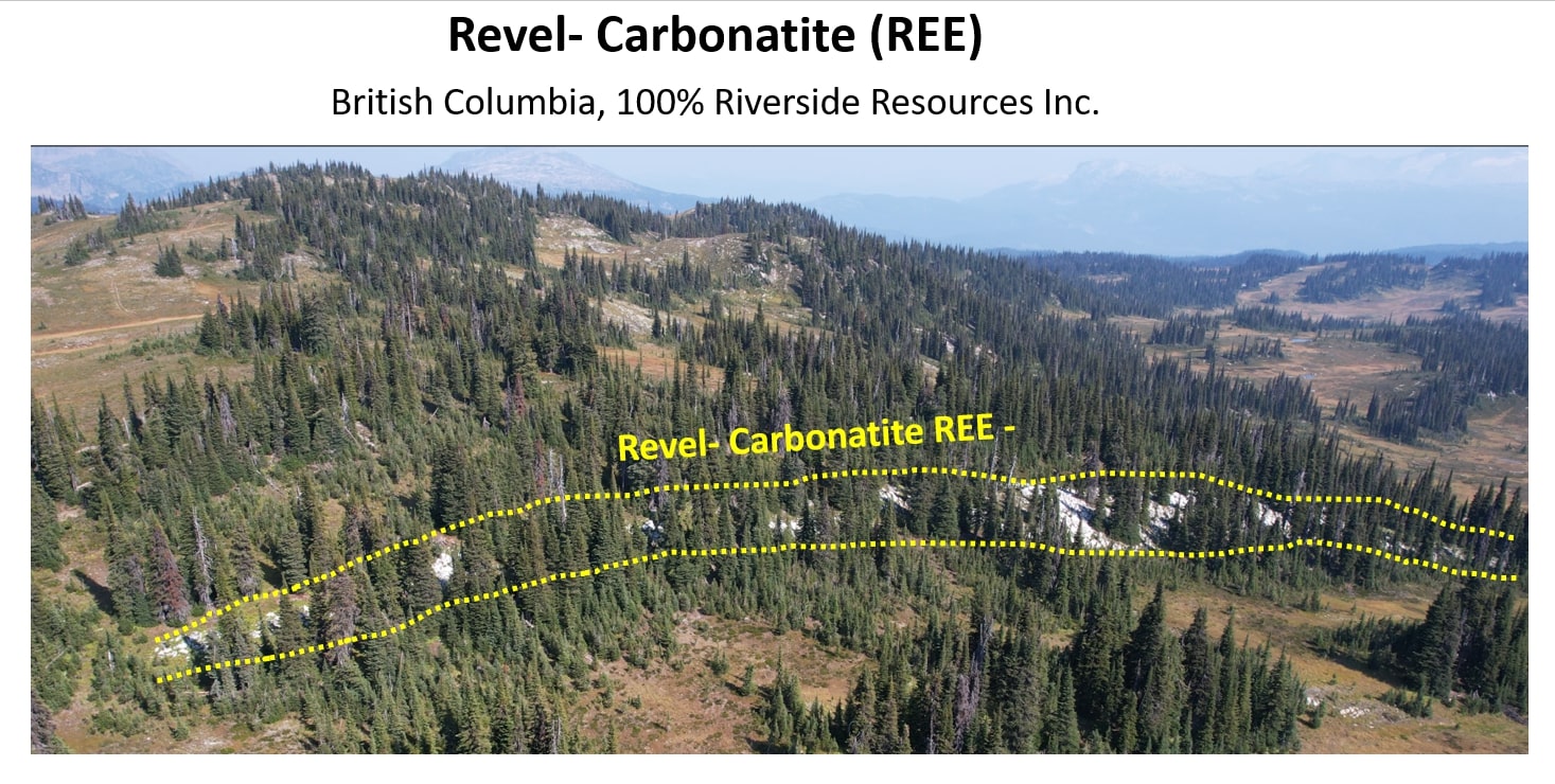
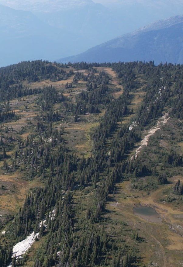
Photo from Riverside field work outlining the trace of the favorable geologic units shown below on the geologic map, white limestone and carbonatite layers extend more than 10kms in strike and open.
Later mapping of the Mount Grace area by Hoy and McMillan (1979) revealed that the discontinuous extrusive carbonatites of the Perry River area were likely related to the extrusive Mount Grace Carbonatite, which has a lateral extent of over 60 km.
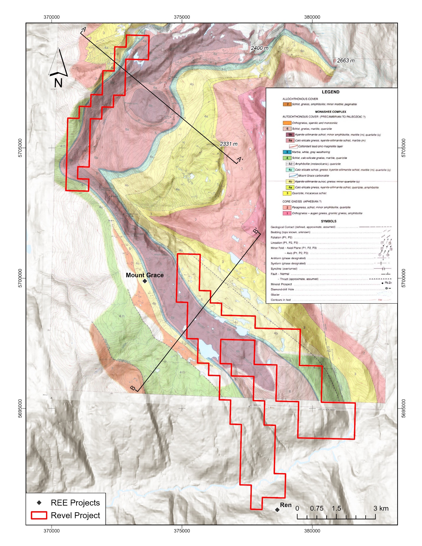
Figure 2- Map with the Revel mineral claims on the Mount Grace Carbonatite from Hoy and Kwong (1986) with location of target Carbonatite horizon shown in blue and Riverside claim areas marked in red.
The study by Hoy and Kwong (1986) revealed that the Mount concentrations of niobium, lanthanum, neodymium and cerium relative to other carbonatites of Grace carbonatite is strongly enriched in the elements barium, manganese, and strontium, with high its nature. The REE and other geochemistry and related magmatic elements can be traced for over 20kms making this one of the largest carbonatite layers found in Canada.
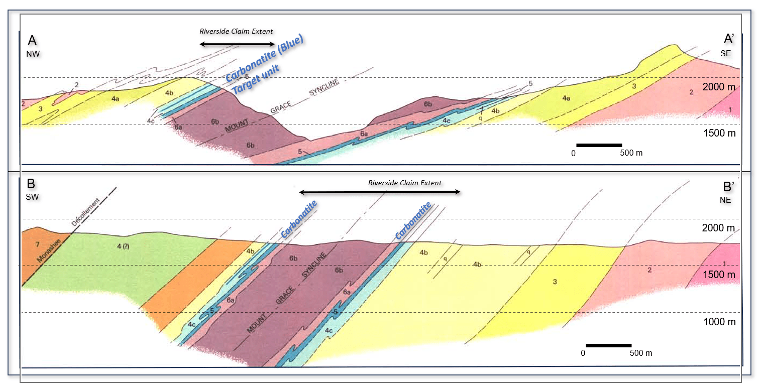
Figure 3. Cross sections for the Mount Grace Carbonatite from Hoy and Kwong (1986) with location of target Carbonatite horizon shown in blue and Riverside claim areas marked in black arrows. Refer to the legend in Figure 2 above for rock descriptions and the lines of cross sections A-A’ and B=B’.
On the geologic cross section above the surface exposed blue carbonatite layers occurs as white layer in photo below.
In early 2010’s field work in the project area found more well-defined carbonatite and in 2018 exploration work located zones of layered and also intrusive carbonatite which during the 2023 field season Riverside was able to work up and sample.
Future work will include detailed mapping and sampling and may include radiometric geophysics in area of thick surficial cover.
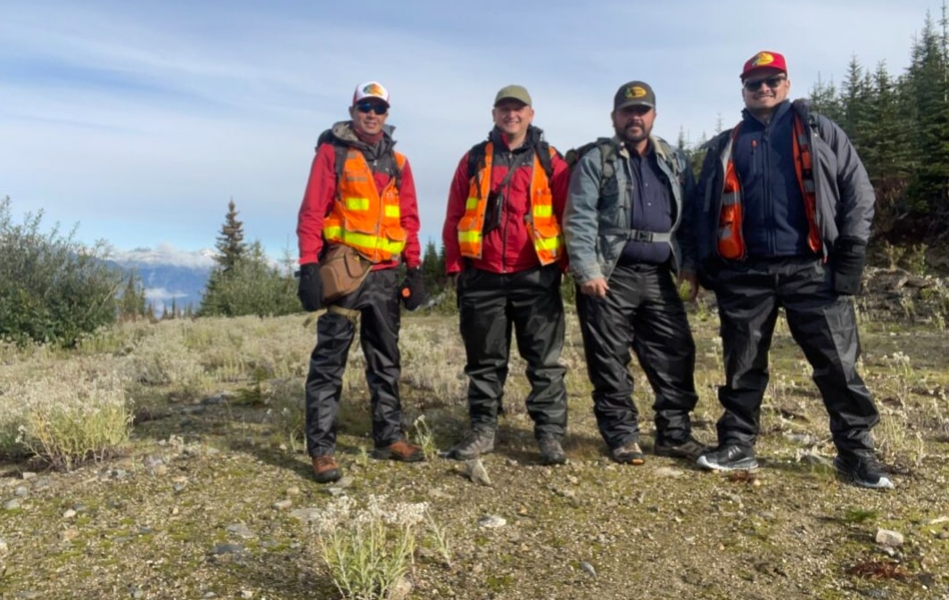
Field geologists at Revel project.
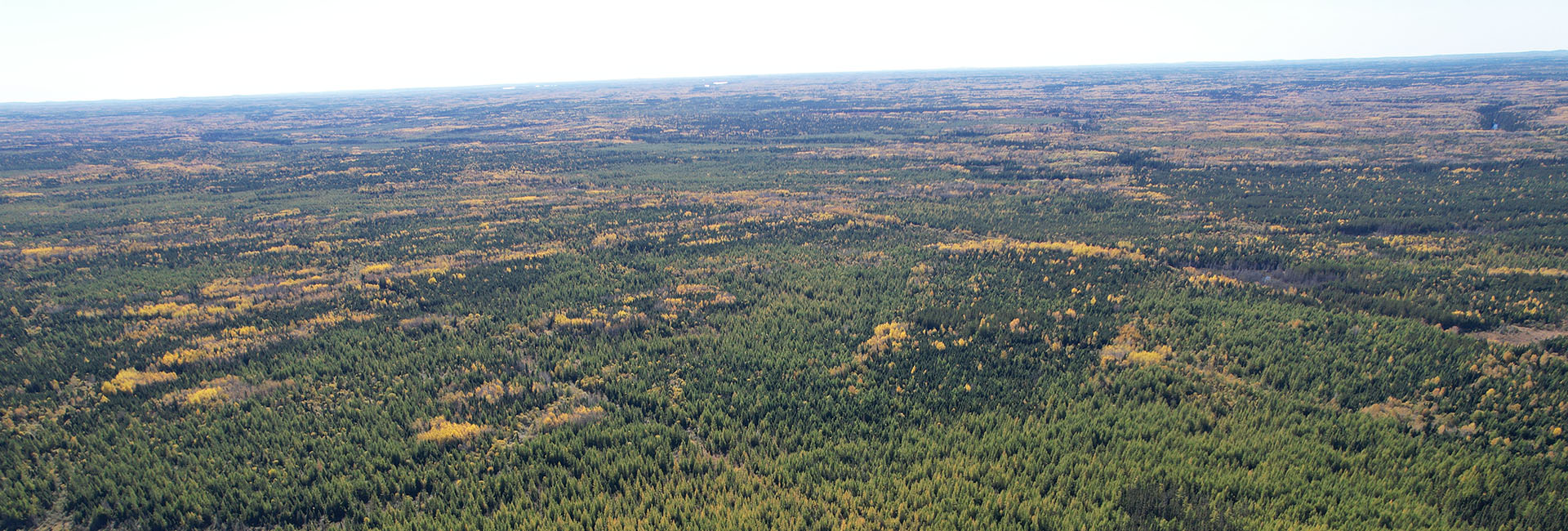
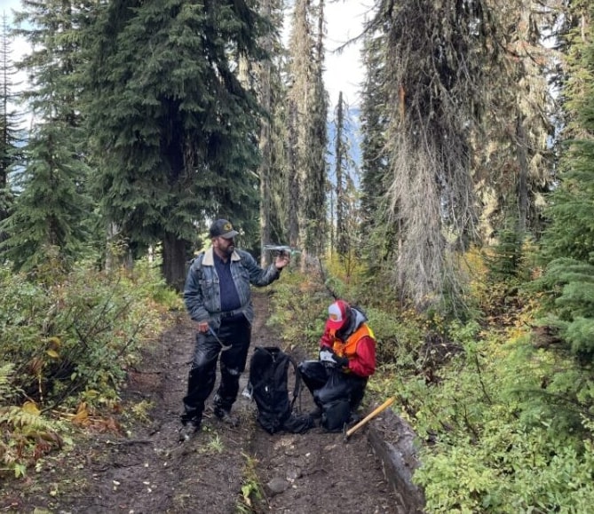
Field work using drone and accessing from logging tracks to the project area.
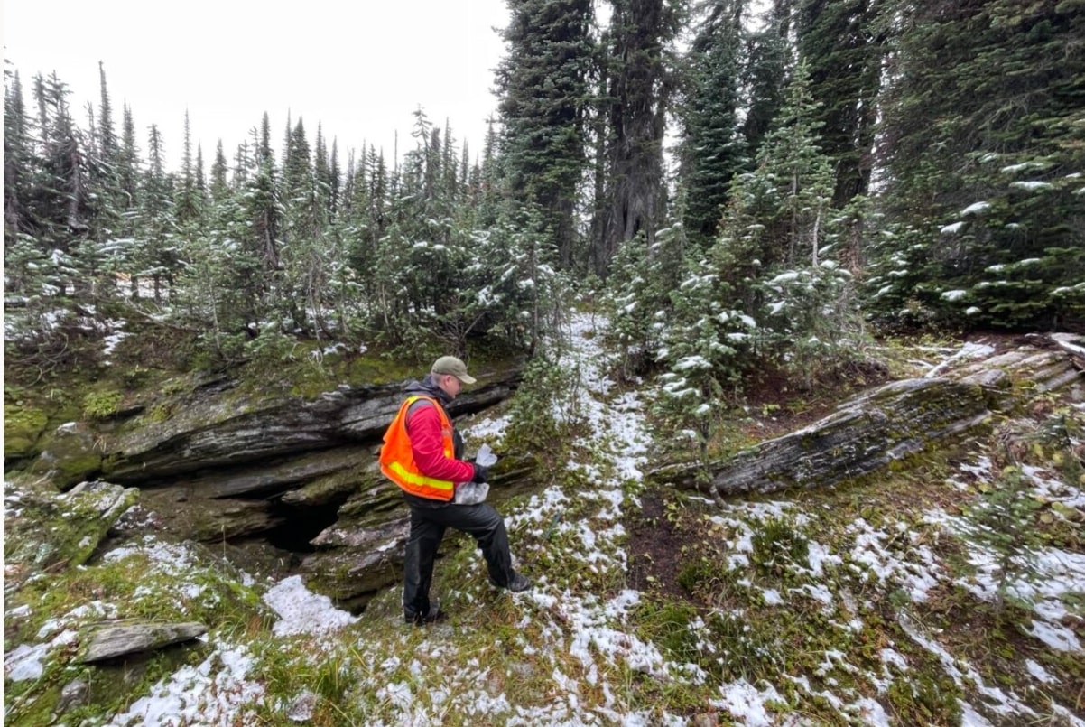
Winter begins to arrive with exposures of the layered metamorphic foliated geologic units which host the carbonatite at Revel.
Qualified Person
This webpage was reviewed and approved by Freeman Smith, P.Geo., a non-independent qualified person to Riverside Resources, who is responsible for ensuring that the geologic information provided within this webpage is accurate and who acts as a “qualified person” under National Instrument 43-101 Standards of Disclosure for Mineral Projects.

